
Upper Macungie Township Neighbors Record Sources
Public records around a block answer separate, limited questions. GIS identifies parcel boundaries and standardized situs components. ORA provides tax-owner and mailing or situs clues for a selected parcel. Recorder documents can show a dated transfer relationship. Township material can provide defined permit or planning context. None of those sources is a household roll. Starting with a source-by-source view helps set an accurate expectation for an Upper Macungie Township neighbor lookup.
| Source | What it shows about a block | Access and limit |
|---|---|---|
| Lehigh GIS parcel layer | Adjacent parcel boundaries, PINs, situs components, ZIP, and municipality data | Map browse; it does not show household membership. |
| ORA property record | Tax owner and mailing or situs clues for a selected parcel | One parcel at a time; owner is not necessarily present at the situs. |
| Recorder records | Transfer dates and legal-description relationships | Search gateway or counter; not a resident census. |
| State Street or Walking List | Fields allowed in the statutory voter-list product | Formal request and use certification; protections apply. |
| Township permit or zoning file | Defined development or project activity by parcel | Counter or RTKL request; exemptions and redactions apply. |
| Historic directories or newspapers | Historical listed people or businesses where coverage exists | APL or history library; verify the collection’s geography first. |
The precise result label is “adjacent parcels and recorded or tax owners where shown.” That language respects what the sources can verify and what they cannot.
Map Upper Macungie Township Neighbors by Parcel
The county map provides the cleanest block method. Start from the central parcel, not from a surname or a sequence of house numbers. Upper Macungie includes roads that cross municipal lines and areas with changing development patterns, so the polygon boundary and MUNI_CODE matter. The GIS service exposes parcel geometry, PIN, acreage, individual situs components, city, ZIP, municipality code, and edit information. Its geometry helps distinguish a parcel that actually shares a boundary from an address that merely looks nearby.
- Locate the target address in the Lehigh County Parcel Viewer and confirm the map scale shows parcel lines.
- Copy the target PIN and full county situs string, including any directional or unit component.
- Select each polygon sharing a boundary on the side, front, or rear. Do not infer an adjoining parcel from consecutive numbers.
- Use ORA for each selected PIN and retain only the returned tax-roll facts and source date.
- If a tract is common space, open land, road right-of-way, or association-owned, label it as such rather than assigning it to a household.
The full street-by-street record trail is available in the Upper Macungie Township street directory; the block method remains focused on adjoining parcels.
Upper Macungie Township Neighbors and MUNI_CODE
Postal labels do not settle a block’s jurisdiction. The GIS parcel layer separately carries SITUS_CITY, SITUS_ZIP, and MUNI_CODE. An Allentown, Breinigsville, Fogelsville, Trexlertown, Orefield, or Mertztown postal line can be a useful address-search variant, but it is not a municipal boundary test. For each candidate parcel, compare the county’s returned municipality code and map position before calling it part of Upper Macungie Township.
This is especially useful where an address line has been copied from a deed, tax bill, old listing, or correspondence. Preserve the parcel geometry alongside the textual address. If the map and tax situs appear inconsistent, ask Lehigh GIS or Assessment which record controls the particular geographic question rather than choosing the more convenient result.
- PIN
- The 12-character county parcel identifier that joins map and property research.
- Situs address
- The physical parcel address carried by the county data.
- Mailing address
- The tax-correspondence address, which can point elsewhere.
- MUNI_CODE
- The county parcel attribute that identifies municipality geography separately from postal labels.
Upper Macungie Township Neighbors: Owner Versus Household
A tax-owner name, tax mailing address, and parcel boundary are land-record facts. They are not proof of every person who receives mail, stays at, or otherwise has a connection with that parcel. Assessment data is updated to reflect ownership transfers, while a mailing line may belong to an estate, trust, business, another property, or an out-of-area owner. That difference keeps a map-to-ORA result useful without overstating it.
| Official record path | What it can support | What it cannot establish alone |
|---|---|---|
| GIS parcel layer | Which parcels touch and their standardized locations | Every person associated with the parcel. |
| ORA property record | Tax owner, parcel identity, and returned tax-mailing information | Current household membership. |
| Recorded instrument | A party’s role in a dated land transaction | A later present-address conclusion. |
| Commercial compilation category | A separate, often mixed-source lead that needs checking | An official claim about a person or a block. |
This comparison is a useful guardrail for Upper Macungie Township neighbors research. Match source, date, and legal purpose before drawing a conclusion from a name.
Upper Macungie Township Neighbors and Voter Lists
Pennsylvania’s voter-registration status page is an individual confirmation tool for a person’s own registration or use with authorization. It is not a public browse-by-neighbor roster. For a documentable street or block question, the Department of State publishes formal request products: the Public Information List, Street List, Walking List, and Full Voter Export. Their available fields, payment, delivery choices, and certification are set out in the request form and should be rechecked on the current form before use.
The governing sources include 25 Pa.C.S. §§ 1403(c) and 1404(b)(1), along with 4 Pa. Code §§ 183.13(c) and 183.14(b). The research confirms a $20 full-export price for one or all counties and the statutory use certification. Those restrictions are material. A voter street list is not an unrestricted copy-and-share block directory, and voting history shows participation, not ballot choices.
The Pennsylvania voter-registration status service and the official voter-list request form are the documented state routes. Lehigh Voter Registration is listed at 610-782-3194 for current county procedures.
Upper Macungie Township Neighbors Community Context
No official Upper Macungie umbrella neighborhood-association directory or member roster was located. That is an important finding. It would be inaccurate to infer association membership, household contacts, or a public HOA list from a subdivision name or a parcel map. Community context instead comes from public-purpose township channels, such as meeting agendas, recreation, planning and zoning activity, and land-development applications. Those sources may show a proposal or public meeting, not a roster of people.
Township planning and zoning
Use published applications, public meetings, or a defined records request for a parcel, plan, or hearing date.
Permit Department
Request a defined address and time window. The township has no verified public searchable permit archive.
Local-history institutions
APL, Parkland Community Library, and the Heritage Museum can help identify collection coverage for a historical street or place.
Voluntary club, congregation, and association lists have their own privacy rules. Ask a public office whether a specific public contact list exists, but do not turn a lack of a roster into a reason to guess.
A capture of the Pennsylvania Liquor Control Board licensee search is a reminder that a public premises-license record has its own limited purpose.
Premises and license information is not a community membership list and should not be used to fill gaps in a block record.
Upper Macungie Township Neighbors History by Date
For a historical block question, use each source within its period and stated geography. APL’s Allentown City Directories, 1860-1980, may contain a listed address only when the relevant volume covers the location. The Morning Call Obituaries Index, 1895-1983, leads to microfilm rather than supplying the full notice. Census films offer a dated household observation, and Recorder records document transfers rather than daily presence. Combining them creates a sequence of observations, not one continuous roster.
A capture of the PHMC marriage-records guide shows the state’s explanation of county marriage custody after 1885.
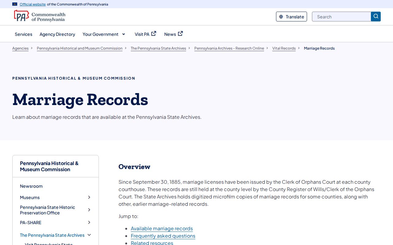
A dated county event record can be a family-history lead. It does not establish who else was on an Upper Macungie Township block.
Upper Macungie Township Neighbors Parcel Quirk
House numbers are not a dependable definition of a block. A parcel may be irregular, may front a different road, or may have a shared line at the rear of the property. Common space and rights-of-way add more exceptions. The research-specific method is to select polygons that share a boundary, then identify the relevant PINs. That is slower than reading a few numbers in sequence, but it keeps a block lookup tied to the physical land record.
Upper Macungie’s postal overlap adds a second quirk. A map result can carry an Allentown or Breinigsville label even when the municipality check turns on MUNI_CODE. Keep the postal term as a search aid, then let the county parcel geography decide whether it belongs in the Upper Macungie Township block analysis.
Upper Macungie Township Neighbor Lookup Privacy
Protected addresses, private utility information, and undisclosed household details remain outside a sound block trail. Pennsylvania’s Address Confidentiality Program allows qualifying participants to use a substitute mailing address, and some court and agency records are sealed, limited, or redacted. A missing record can reflect a protection, a date gap, a format difference, or a source limitation. It should never be treated as proof that a person is absent or available for further tracing.
Public-safety databases also have their own strict purpose and misuse warnings. A capture of the Pennsylvania State Police Megan’s Law site reflects the Commonwealth’s warning against threatening, intimidating, harassing, or otherwise misusing registry information.
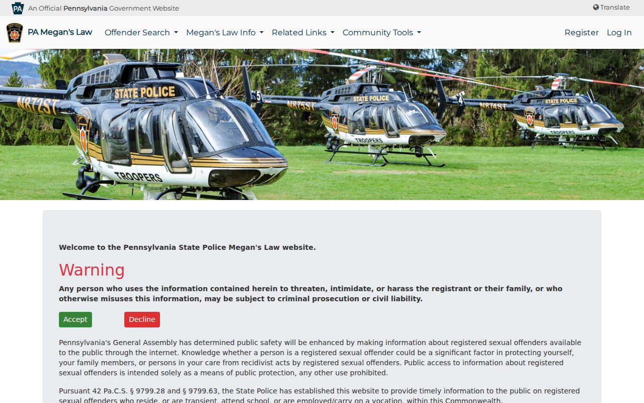
That public-safety resource is not part of an ordinary neighbor verification method and does not replace official identification by authorities.