
Trace Upper Macungie Streets
A street-by-street search begins with a precise location, not an assumed household list. Enter the address in Lehigh County ORA Property Search, save the returned situs spelling and PIN, then open the county map to make sure the parcel is in Upper Macungie. The property record is useful evidence of taxable ownership and a tax mailing address. It does not establish every person connected to the property. Treat the tax mailing field as a lead and compare it with the physical situs and the record date.
- Normalize the house number, direction, street name, and suffix. Start with a distinctive street string, then use the county’s accepted abbreviations if the first search misses.
- Save the PIN, full situs address, municipality, owner or taxpayer field, and search date from the property result.
- Open the parcel map and inspect the selected polygon plus the parcels that share a boundary. Confirm the municipality before drawing a township conclusion.
- Use the PIN and legal description to request or locate the latest recorded deed, then follow the prior transfer only when the legal description matches.
- For a defined address question, ask the Township Permit Department for the existing permit, inspection, zoning, or code file by address, permit number, and date range.
The sequence separates land evidence from an occupancy claim. It also keeps a future search repeatable if a subdivision name, postal-place label, or street format changes.
Upper Macungie Street Search Forms
ORA publishes practical rules that matter in Upper Macungie Township. Its public form requires at least four characters, rejects special characters, and directs the user to select a search type and complete a CAPTCHA. The guidance recognizes standard direction and suffix abbreviations. A 12-digit PIN can be entered by itself, or with PAR after a space. When text searching is weak, the linked Parcel Viewer is the alternate route.
| County control | Use | Published constraint | Street-directory value |
|---|---|---|---|
| Enter Search Text | Begin the property query | At least four characters; no special characters | Try a distinct street fragment first |
| Search type selector | Choose the route shown live | Select before searching | Confirm current labels on the portal |
| CAPTCHA | Complete the public search step | Required before results | Use the county screen, not copied data |
| Parcel Viewer link | Move from text to map | Alternate county route | Check parcel geography and adjoining lots |
Do not invent a search mode that the live screen does not display. The county’s instructions support name, address or street, and PIN use, but the page should be read at the time of search because interface labels can change.
Upper Macungie Street Parcel Keys
The Lehigh County GIS gateway leads to a parcel layer with separate fields for PIN, acreage, municipality code, street components, city, ZIP, and map geometry. Those fields explain why a one-line address can fail. The map can separate a house number, direction, street type, unit, postal city, and ZIP even when an older paper record combines them differently. Browse the polygon, record the exact returned components, and use MUNI_CODE with the map location to confirm the township.
- PIN
- The county parcel identifier. It ties the assessment result, map location, and land-record work to the same parcel.
- Situs address
- The physical location of the parcel. It is different from the place where tax correspondence is sent.
- Legal description
- The land description in a recorded instrument, such as a lot, plan reference, acreage, or metes-and-bounds wording.
- Criss-cross directory
- A historical directory section arranged by street and number, when a collection actually includes the place.
The official parcel-service field inventory is the source for the image below. Its separate municipality and postal fields are a useful check on a street directory search, but the service is neither a deed image nor a household roster.
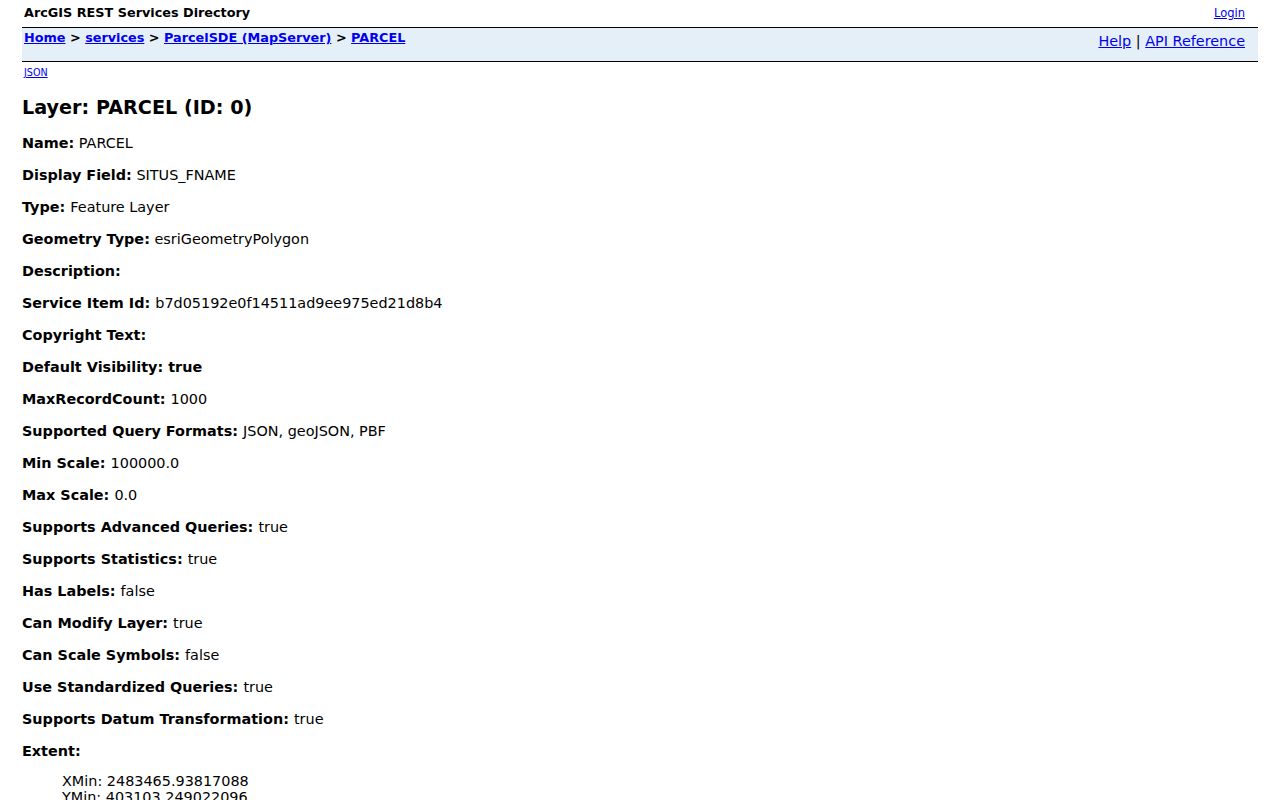
Keep the map result with the property result. The GIS feature establishes parcel geography and normalized situs components; assessment provides the tax-roll ownership layer.
Upper Macungie Street Records
Several public record systems are keyed to an address or parcel, but they do not provide the same kind of evidence. The most useful Upper Macungie street directory work moves from the property record to the map and recorder, then to a narrowly defined municipal file if the question concerns construction, zoning, or inspections. The county is the keeper for land records. The township is the keeper for its own administrative records.
| Address record | Custodian | What it can show | Access route |
|---|---|---|---|
| Assessment and tax roll | Lehigh Assessment | Taxable owner, mailing address, parcel data | ORA Property Search or county counter |
| Parcel map | Lehigh GIS | Boundary, PIN, situs parts, municipality, ZIP | Parcel Viewer or public map service |
| Recorded instruments | Clerk of Judicial Records, Recorder of Deeds Division | Parties, recording data, legal-description trail | Records Search, LANDEX, or recorder counter |
| Permit and inspection file | Upper Macungie Permit Department | Address-specific project chronology where public | Defined request, phone, or RTKL route |
| Street or Walking List | Pennsylvania Department of State | Fields permitted in the requested voter-list product | Formal request and statutory certification |
State voter status is an individual confirmation tool, not a browseable street roster. Pennsylvania’s formal voter-list request process describes Street and Walking List products and their restrictions. A requestor should read the current state voter-list form, select the right scope, and follow its certification rather than treating it as unrestricted street data.
Note: Match the parcel PIN and legal description before using a name on a land record as evidence about the same address.
Lehigh Deeds by Address
The Recorder of Deeds Division is part of the Lehigh County Clerk of Judicial Records. The county’s official FAQ states that LANDEX coverage runs from 1812 to the present and that the Russell index spans 1812 to 1983. Coverage does not guarantee that every image or feature is freely available online. Start at the live Recorder Records Search, then call the recorder at 610-782-3162 or use the counter for current copy, image, and search rules.
For one parcel, locate the current deed and write down its grantor, grantee, instrument or book/page reference, recording date, and legal description. The prior owner is usually found by searching the seller from the current deed as a grantee in an earlier transfer. Repeat only after the legal description, lot or plan reference, acreage, or PIN link supports the match. Rural land can be described by adjoining owners or metes and bounds, so a modern house number may not be the best historical key.
The Recorder’s notices and updates page is the source for the image below. It gathers the recorder’s records-search, fee, e-recording, UPI support, and Record Alert routes without suggesting that each instrument is an open resident record.
A deed chain is dated land evidence. It can show a party’s role in a transaction, not a complete account of everyone at a street address.
Upper Macungie Street Permit Trail
Upper Macungie maintains permits, inspection scheduling, zoning, land-development, and code material, but no official public name-searchable permit database was found. The proper fallback begins after the parcel is identified. Review the Township permits and forms, then ask for an existing record with the address, permit number if known, record type, date window, and preferred copy or inspection method. The published inspection instructions use both permit number and address on the permit card.
The Township Forms page links its open-records policy, request form, and fee structure. A narrow Right-to-Know request under Pennsylvania’s RTKL should seek an existing defined permit, inspection, zoning, or code record, not ask staff to conduct a general search. Protected details can be redacted or withheld. The Permit Department’s public contact route is 610-395-4892, and its published hours are Monday through Friday, 7:30 a.m. to 4:00 p.m.
The permit page also announces a 2026 code transition. Pennsylvania’s 2021 ICC Code Series applies there to contracts signed on or after January 1, 2026, and permit applications submitted on or after July 1, 2026. That date is useful when identifying the administrative rules attached to a defined project record. It is not evidence about a resident. Preserve the permit number, address, application date, and source date, then ask the department which part of the file is public before relying on it.
Two Postal Labels, One Township
Upper Macungie’s municipal and postal geography do not always match. Township mail uses a Breinigsville address, while the Permit Department’s physical office uses an Allentown postal address. Breinigsville, Fogelsville, Trexlertown, Orefield, Allentown, and Mertztown can all be useful search variants. None should decide municipal location by itself. In a street directory search, let the county map geometry and MUNI_CODE establish whether a parcel is in Upper Macungie, then retain the returned postal city and ZIP as delivery information.
This is the local quirk that prevents many false misses. A property can have a familiar postal label and still require a municipal-code check, especially along roads near a boundary. Keep the full set of identifiers: situs address, postal city and ZIP, PIN, and legal description.
Upper Macungie Street Parties
A recorded party may be a person, estate, trust, or business entity. That distinction matters when following an instrument trail. If an entity is named, use the exact legal spelling and filing information from the Pennsylvania business record-search information before deciding how the land record relates to the next step. A registered-office or business address is not a substitute for parcel evidence.
The official state record-search page is the source for the image below. It supports a careful comparison of a recorded entity name with its filing record, rather than a casual inference from a street address.
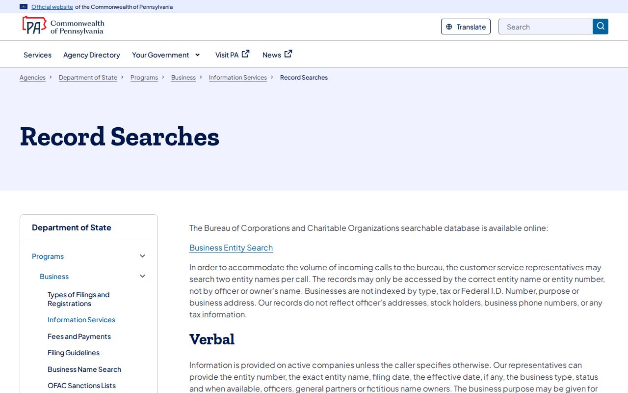
When a parcel transfer involves an estate, trust, or entity, the deed’s party role, date, and legal description remain the core facts to preserve.
Names in a recorded instrument can change form over time. An estate may appear through a personal representative, and a trust may appear through a trustee. Keep that exact role with the date and instrument reference. If a filing search identifies a separate entity record, compare the entity number and legal name before linking it to the next deed. This protects the street trail from a false connection based on a familiar name or a nearby mailing address.
Limits of an Upper Macungie Street Directory
An address search cannot produce a complete roster of a household. Assessment records identify taxable ownership and mailing information, not every occupant. Parcel maps show land geometry, not household membership. Recorded instruments show dated transactions, and municipal files can contain redactions. The voter-status service is designed for individual confirmation, while a requestable voter list has its own statutory use conditions. A no-result can reflect the source’s scope, an older address form, a protected record, or a different record type.
Pennsylvania’s Address Confidentiality Program can provide qualified participants a substitute mailing address in public records. An absent or substitute address is not proof of an error. For an official correction, contact the record’s custodian rather than assuming that a broad internet removal request changes county or township records.