
Upper Macungie Township ZIP Code Coverage
Upper Macungie Township is a local-government area, while ZIP codes are USPS delivery geography. A mapping snapshot found eight ZIP leads that intersect township territory. They are useful starting terms, not a claim that every address carrying one of those labels is inside the township. The reliable check pairs the returned postal ZIP with Lehigh County parcel geography and its MUNI_CODE field. This distinction matters on roads that cross municipal lines and in a township whose familiar village names overlap several postal labels.
| ZIP | Postal label evidenced | Verification route | Upper Macungie caution |
|---|---|---|---|
| 18031 | Breinigsville | USPS address lookup | The township mailing address uses this label; it is not township-only. |
| 18051 | Fogelsville | USPS address lookup | Check parcel MUNI_CODE for municipal geography. |
| 18069 | Orefield | USPS address lookup | A map lead, requiring an individual-address check. |
| 18087 | Trexlertown | USPS address lookup | Postal-place overlap does not set a boundary. |
| 18104 | Allentown | USPS address lookup | An Allentown postal label can extend beyond the City of Allentown. |
| 18106 | Allentown | USPS address lookup | The permit office uses this postal label. |
| 18195 | Allentown | USPS address lookup | Appears in permit material; exact designation was not verified. |
| 19539 | Mertztown | USPS address lookup | A map lead, requiring an individual-parcel check. |
A ZIP code directory is most useful when it preserves that uncertainty. The postal labels identify search variants. County mapping decides whether a returned parcel is in Upper Macungie Township.
Upper Macungie Township Postal Labels Compared
Breinigsville, Fogelsville, Kuhnsville, and Trexlertown are recognized township village names, while Allentown and Mertztown can also appear as postal-place strings. A property record can therefore have an Allentown situs city and still require a separate township check. The useful comparison is not one postal place against another. It is postal city and ZIP for delivery, versus the county parcel’s municipality code and map footprint for local jurisdiction.
A capture of Census QuickFacts for Upper Macungie Township provides broader township context for this changing geography.
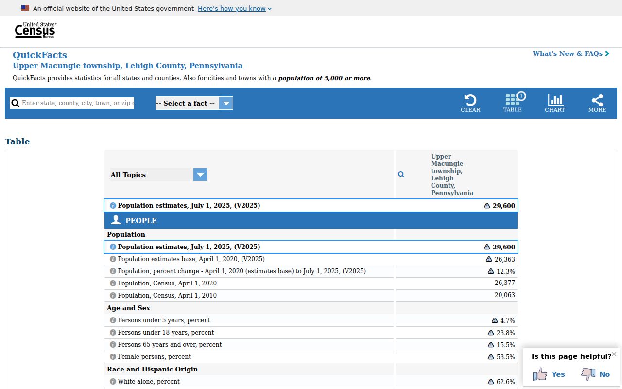
Growth and overlapping postal-place names make it especially important to date a record and retain the full returned address rather than treating a short city label as conclusive.
Find an Upper Macungie Township ZIP Code by Address
Use a full delivery address first. The research did not verify a public county ZIP filter for every current search screen, so a broad ZIP-only property query should not be advertised as an exhaustive resident result. Instead, USPS verifies the delivery ZIP, the county property gateway normalizes the address or PIN, and GIS checks the parcel. This is a ZIP code directory workflow for one known address, not a shortcut to household membership.
- Enter the complete address in the USPS lookup and save the returned delivery ZIP.
- Search the exact street form in Lehigh County ORA Property Search. If the result is uncertain, retain the 12-digit PIN returned for the parcel.
- Open the county GIS route and compare the parcel geometry, situs components, and MUNI_CODE.
- Record the address, postal city, ZIP, PIN, and deed legal description together when later records may use a different format.
A capture of the USPS ZIP Code Lookup shows the official delivery-verification starting point.
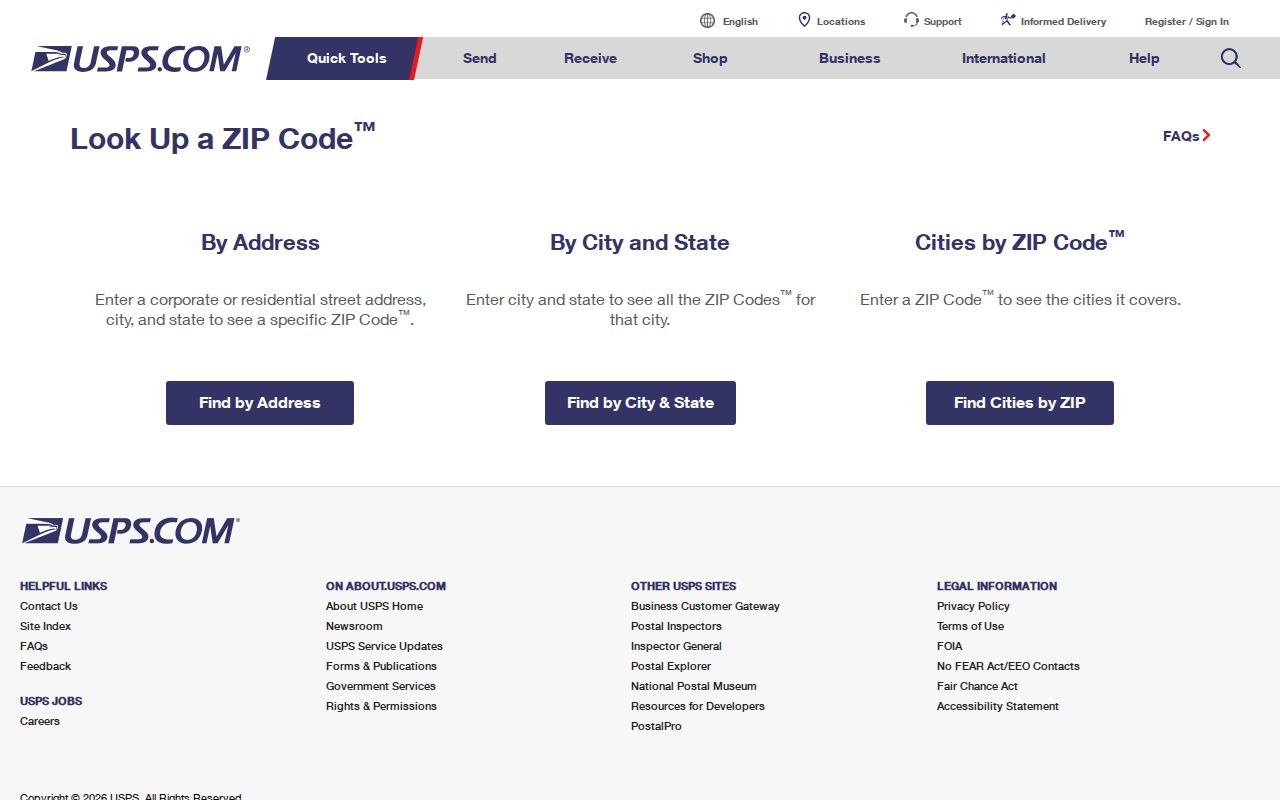
The USPS result supplies a delivery answer. It does not replace the county parcel review required to confirm an Upper Macungie Township location.
Once a ZIP has narrowed a question to a particular road, the Upper Macungie Township street directory provides the address-by-address property trail.
Upper Macungie Township ZIP Code Parcel Fields
Lehigh GIS is valuable because the parcel service keeps the address in parts instead of relying on one mailing line. Its public layer identifies PIN, acreage, municipality code, separate situs-address components, city, ZIP, edit information, and parcel geometry. The service can return up to 1,000 records and supports queries, pagination, ordering, and geometry operations. That technical coverage is a reason to work from an exact parcel, not a broad ZIP result.
| Returned field or capability | How it helps the ZIP check |
|---|---|
| PIN | Connects the parcel to assessment and recorded-land work. |
| SITUS_ADDR_NUM and street components | Preserves the county’s exact address form. |
| SITUS_CITY and SITUS_ZIP | Shows postal fields, not a municipal-boundary determination. |
| MUNI_CODE | Confirms the relevant county municipality. |
| Parcel polygon | Lets the researcher compare the address with actual parcel geography. |
A capture of the Lehigh County GIS gateway shows the route to the county’s Parcel Viewer.
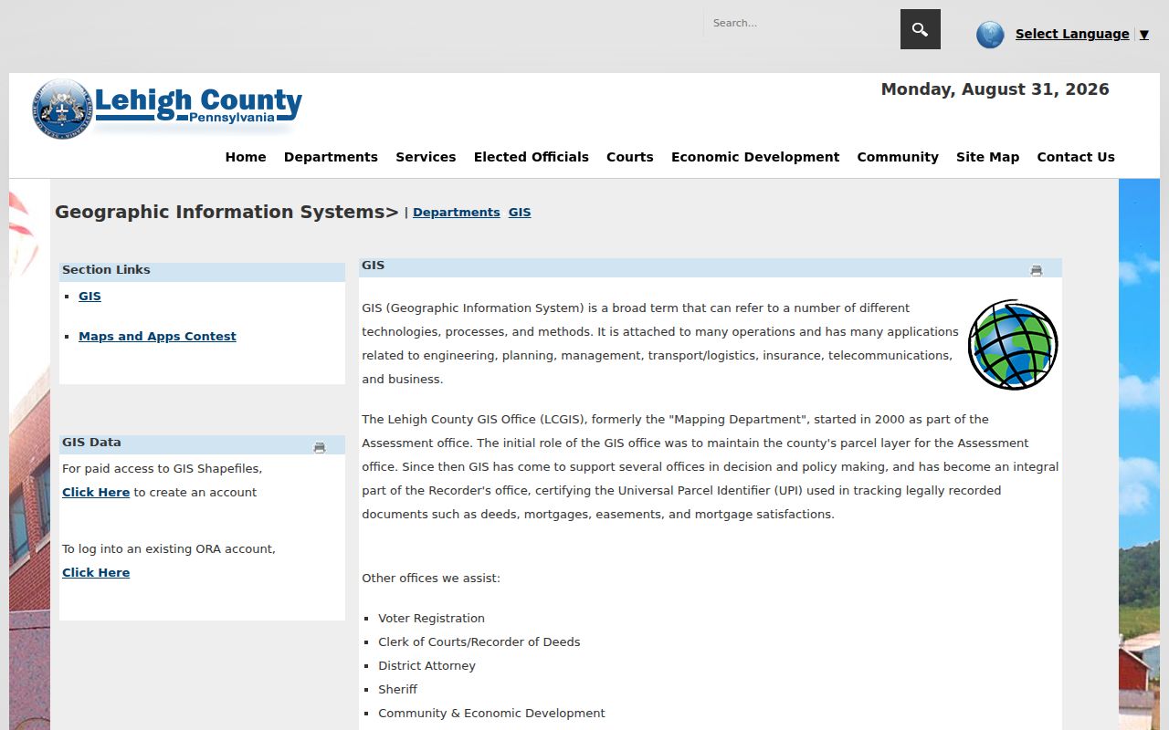
The viewer supplies parcel geography. Owner and tax details, when available, come from the separate county property record and are not a complete account of who is present at a location.
Upper Macungie Township ZIP Code Address Keys
Four labels often travel together but answer different questions. The situs address is the physical parcel location. A mailing address is where tax correspondence goes. A PIN is the stable county parcel identifier, and a legal description is the land description carried through recorded documents. The ZIP code is a postal delivery attribute. Keeping all five prevents a later name, map, or deed search from turning a change in formatting into a false no-result.
- ZIP versus ZIP+4
- A ZIP identifies a delivery area; ZIP+4 adds a narrower delivery segment for a particular address or group of addresses.
- Postal-place label
- The city name used in mail delivery, which may not be the name of the governing municipality.
- PIN
- The 12-character parcel identifier Lehigh County uses to join property and land-record research.
- Legal description
- The recorded land description, often more durable than a street address in older documents.
Note: Keep the county-returned spelling, directional terms, unit, and postal label in a research log because each later record system may store the same place differently.
Upper Macungie Township ZIP Code Limits
A ZIP-wide result is not a residents directory. County GIS may carry SITUS_ZIP, yet the research did not capture a confirmed interactive ZIP filter in the Parcel Viewer, and a postal field cannot establish municipal membership by itself. An assessment result also connects a parcel with tax-roll ownership and a mailing lead. It does not establish that every person connected with an address is there now.
Use individual record channels for their stated purpose. The property portal and parcel map are the county sources for a known address. A requestable Pennsylvania Street List is governed by 25 Pa.C.S. §§ 1403–1404 and 4 Pa. Code §§ 183.13–183.14, has a certification requirement, and is not an unrestricted public browse tool. The state status service is for an individual’s own registration or use with authorization.
A capture of Pennsylvania voter services illustrates the state’s official election-service route.
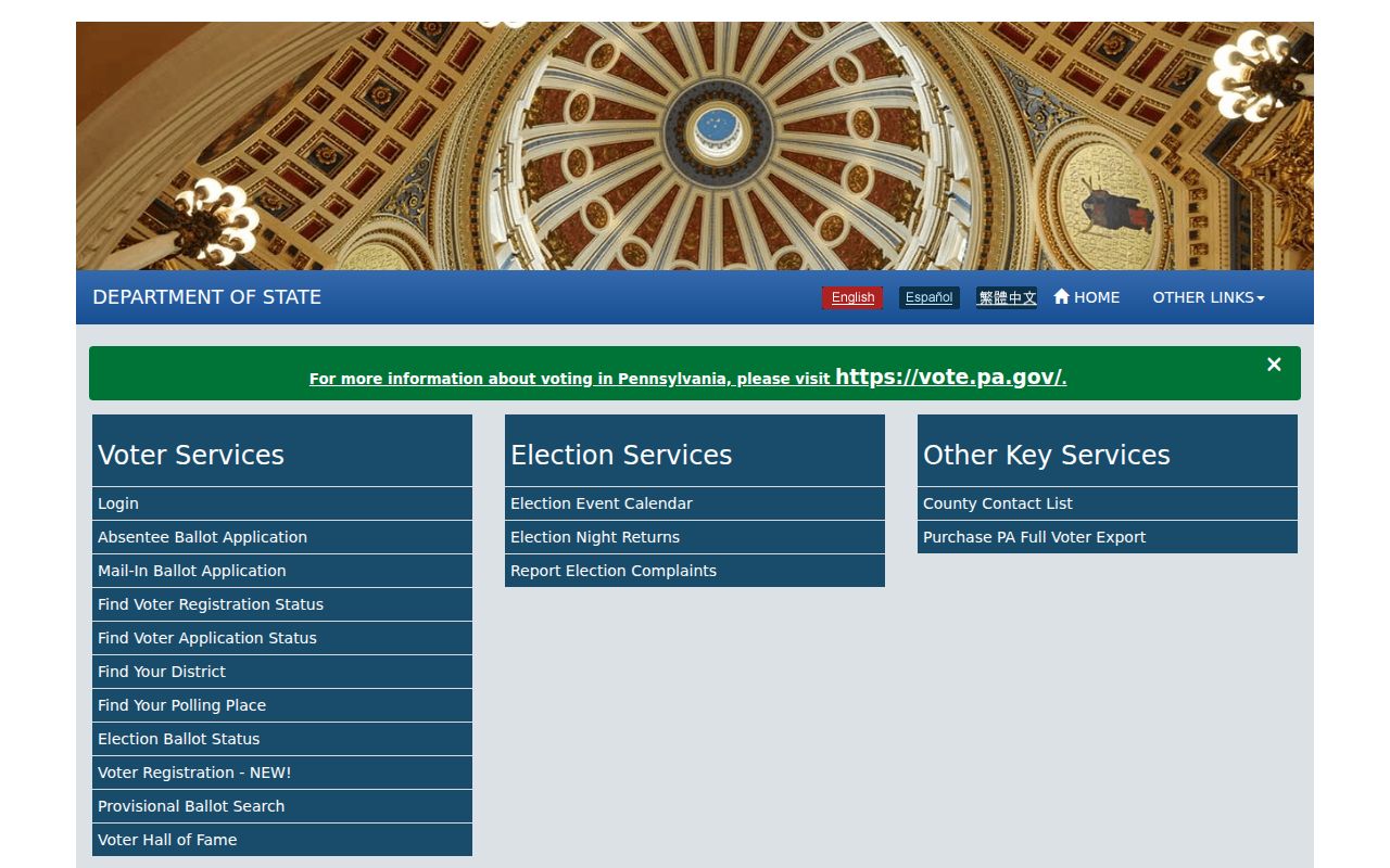
Election tools and county parcel sources serve different purposes. Neither turns a postal ZIP into an open roster for a township.
Upper Macungie Township Postal Office Quirk
The township itself makes the address distinction visible. Its township mailing address is in Breinigsville, while the physical Permit Department office is carried with an Allentown postal address. Both locations are associated with the same township administration. That is why the city word on an envelope should be treated as a search variant, not as a final jurisdiction decision.
A capture of the Pennsylvania Address Confidentiality Program also shows why an address trail can be incomplete by design.
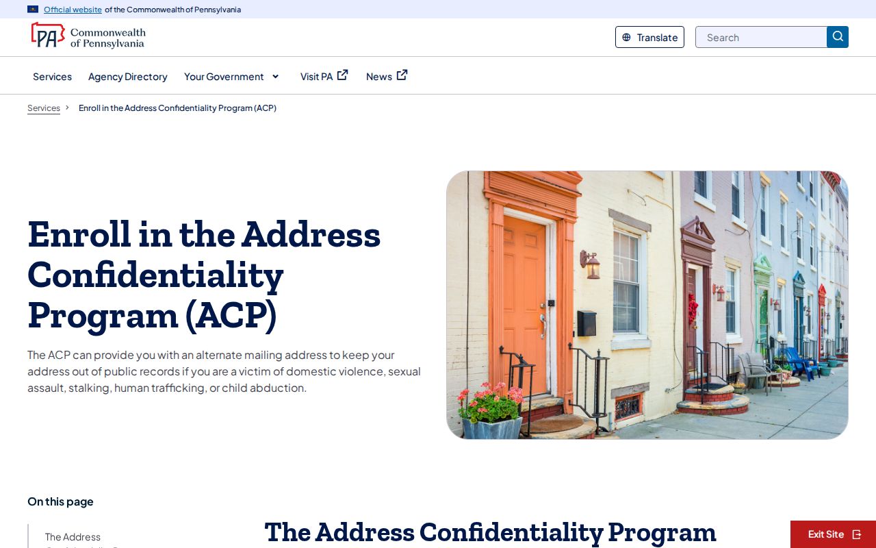
Qualifying ACP participants can use a substitute mailing address. A missing or substituted postal line should not be treated as a mapping error or a reason to force a conclusion.
Upper Macungie Township ZIP Code History
Before 1832, a historical record can use Macungie rather than Upper Macungie because Upper and Lower Macungie split that year. Modern ZIP codes will not solve that older naming problem. For older land work, carry the legal description, PIN where one is available, and neighboring-land clues into Recorder and archive searches. Lehigh Recorder coverage is stated as reaching 1812 in the county’s FAQ, which can provide a long land-record backbone when an old address string does not.
Address formatting is another historical issue. Lehigh’s parcel data separates number, directional prefix and suffix, street name, street type, unit, city, and ZIP. A historic source can omit a unit, use an older directional form, or shorten the street type. Try the county’s published direction and suffix abbreviations, remove punctuation, search a distinctive street fragment, and then verify the candidate with parcel geometry and PIN. The parcel service’s 1,000-record limit is another reason not to treat a broad place or ZIP inquiry as a complete report. Preserve each returned spelling before moving to a recorder index or archival roll.
This comparison separates postal and historical research. A current delivery code narrows mail geography; it does not replace the locality terms and land descriptions used when the record was made.